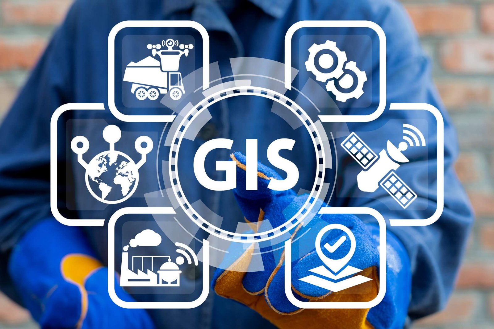
Geospatial Analysis with QGIS
With no prior experience, you will have the opportunity to walk through hands-on examples with real-world geospatial data, making complex ...
Show more
Instructor
Ibrahim Foday
- Description
- FAQ
- Reviews
Who is this program designed for?
This program is ideal for students, professionals, or enthusiasts interested in geospatial analysis, regardless of prior experience. Beginners will gain foundational skills, while experienced users can refine their expertise.
Is the program really free?
No! Our Geospatial Analysis with QGIS program is available at a low price, making it accessible to anyone eager to learn and grow in this field.
What will I need to get started?
All you need is a computer with QGIS installed. You'll also require a stable internet connection for accessing learning materials and participating in collaborative activities.
How long does the program take to complete?
The program is designed to be flexible, allowing participants to complete it at their own pace. On average, it may take a few weeks to finish, depending on your schedule and commitment.
Can I access support during the program?
Absolutely! We provide guidance through interactive sessions, forums, and mentorship opportunities to ensure that all participants have the support they need.
Please, login to leave a review


Prerequisites
-
Foundational Skills
-
What is Prerequisite coursesA prerequisite is a specific course that you must complete before you can take another course at the next grade level.
Course details
Duration
3 Months
Lectures
8
Quizzes
2
Level
Beginner
Certificate of Completion
3 Months
Mobile, Laptop, Desktop
Basic info
- Mode of Delivery: Fully online with virtual mentor support and collaborative tools
- Structure: Comprehensive weekly modules combining concept-based learning, hands-on projects, and evaluations
Key Features:
- Intensive training on QGIS software to perform spatial data analysis and manage geospatial projects
- Practical exercises on data sourcing, cleaning, and visualization for real-world applications
- Exposure to advanced topics such as georeferencing, raster analysis, and spatial modeling
- Collaborative activities to build problem-solving and teamwork abilities in geospatial contexts
- Regular mentoring to ensure learners grasp both the technical and theoretical aspects of geospatial analysis
Outcome: By the end of the program, participants will:
- Master the fundamentals of QGIS and other supportive geospatial tools
- Develop a digital portfolio with completed projects showcasing their geospatial expertise
- Build confidence in analyzing spatial data and creating maps for professional and real-world applications
- Gain a strong understanding of geospatial analysis concepts such as location intelligence and environmental monitoring
Course requirements
To enroll in the Geospatial Analysis with QGIS Foundations Program, participants should meet the following requirements:
- A high school diploma or equivalent is required
- Access to a computer or laptop with an internet connection and capability to run QGIS software
- Basic computer proficiency—no prior experience in geospatial analysis is needed
- Intermediate English communication skills to facilitate smooth engagement with course materials and mentors
- Willingness to dedicate 25-35 hours per week to engage actively with program content, assignments, and collaborative tasks
- A curious mindset and the drive to explore how geospatial tools and analysis can solve real-world problems
Intended audience
- Recent graduates looking to develop skills in industries such as urban planning, geographic analysis, and environmental sciences.
- Young professionals wanting to enhance their expertise and apply geospatial insights in their work.
- Job seekers interested in entering or transitioning into data-driven fields like infrastructure management, remote sensing, or disaster response.
- Enthusiasts passionate about geography, mapping, or spatial data analysis, seeking technical training with practical experience.
Popular courses


Category: